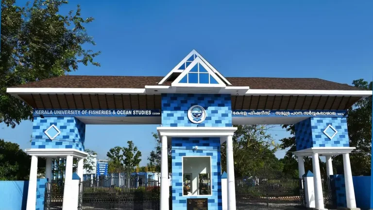
The Indian Institute of Remote Sensing has awarded a capacity building project to the Kerala University of Fisheries and Ocean Studies, focusing on geospatial information for landslide mapping and mitigation.
As part of this initiative, the Kufos Department of Climate Variability and Aquatic Ecosystems will organize a ten-day national level training program in March, providing advanced lectures and cutting-edge technologies in GIS, intelligence artificial intelligence (AI) and machine learning (ML). ) for landslide mitigation.
The selected researchers and scientists from across the country will participate in the training program led by Girish Gopinath, head of the Department of Climate Variability and Aquatic Ecosystems.
The program will specifically address landslide mitigation challenges, both within the state and nationally. Prominent speakers from various national and state institutes, such as National Remote Sensing Center (NRSC) in Hyderabad, ISRO-Space Applications Center (SAC) in Ahmedabad, Indian Institute of Science Education and Research (IISER) in Mohali, CUSAT, MG University, and the University of Kerala, will give lectures on landslides.
The training will also include one-day field visits to the nearest landslide sites, enabling participants to conduct field studies and observations on landslides in Kerala.
T. Pradeepkumar, vice-chancellor of Kufos, highlighted the special relevance of the program for Kerala, given the recent challenges posed by a series of landslides in the state. Incessant heavy rains, typical of monsoon, have triggered soil erosion, leading to numerous landslides across the state. Steep terrain and densely populated areas exacerbate the impact, causing considerable damage to homes, infrastructure and disrupting transport networks. As local authorities actively engage in relief efforts, there is increasing emphasis on long-term sustainable land management strategies to guard against future incidents in this vulnerable region. ‘


